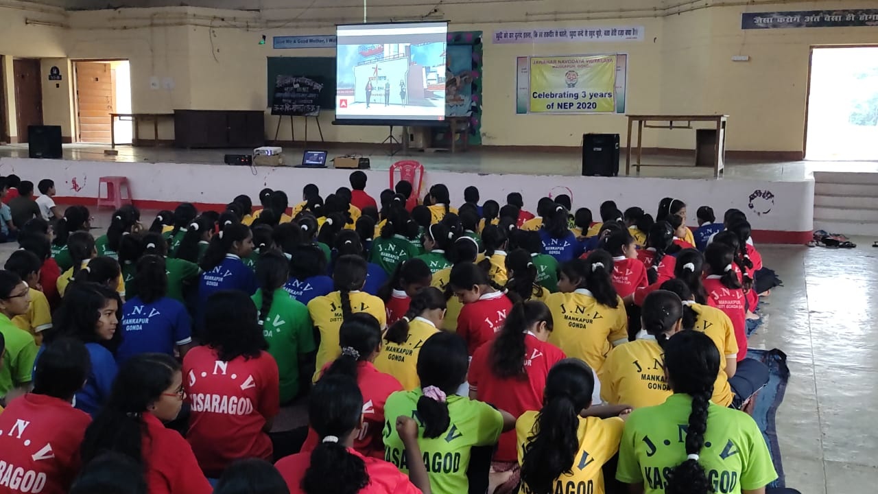
About JNV Gonda
Jawahar Navodaya Vidyalaya, Mankapur, Gonda is a fully residential, co-educational school affiliated to CBSE, New Delhi and has classes from VI to XII standard. This Vidyalaya is run by Navodaya Vidyalaya Samiti, New Delhi, an autonomous organization under the Department oiof Education and Literacy, Ministry of H.R.D., Government of India.

Details about JNV Gonda
|
1. |
|
Year of Establishment |
1988 |
|
2. |
(i) |
Complete address of the Vidyalaya with Pin code |
Jawahar Navodaya Vidyalaya, Mankapur, Gonda(U.P.) Pin Code : 271302 |
|
|
(ii) |
Telegraphic Address |
- |
|
|
(iii) |
Telephone No, Fax No, with STD code |
|
|
|
(iv) |
E-mail ID |
|
|
|
(v) |
Website |
https://www.navodaya.gov.in/nvs/nvs-school/GONDA/en/home/ |
|
3. |
(i) |
Name of the Principal |
VACANT |
|
|
(ii) |
Name of the Vice Principal |
Sh Jay Prakash Singh |
|
4. |
Name of the Chairman, VMC, with complete postal address with PIN code Telephone No, Fax No, E-mail address and etc. |
Smt.Neha Sharma (I.A.S.) District Magistrate, Gonda Cum Chairman, V.M.C. , J.N.V. Mankapur, Gonda |
|
|
5. |
Geographical Location of the Vidyalaya |
||
|
(i) |
Name of District Head Quarter & its distance from the Vidyalaya |
Gonda, 45 Km. |
|
|
(ii) |
Climate condition of the District |
Normal |
|
|
(iii) |
Name of nearest Railway station and its distance from the Vidyalaya |
Mankapur, 10 Km. |
|
|
(iv) |
Name of the nearest Bus Stand and its distance from the Vidyalaya |
Mankapur, 10 Km. |
|
|
(v) |
Name of the nearest Air port and its distance from the Vidyalaya |
Lucknow, 165 Km. |
|
|
(vi) |
Name of the Nearest Police Station and its distance from the Vidyalaya (please indicate the telephone no.) |
Mankapur, 10 Km. |
|
|
(vii) |
Name the nearest Hospital and its distance from the Vidyalaya (please indicate the telephone no.) |
CHC, Mankapur, 8 Km. |
|
|
(viii) |
Mode of Transport facility available to reach the Vidyalaya and its frequency |
Private Taxi as per availability. |
|
|
(ix) |
Name of the nearest JNV and its distance from the Vidyalaya |
Faizabad, 65 Km. |
|
|
(x) |
Shortest route for reaching the Vidyalaya from Regional Office: (in Kms) |
||
|
(a) By Rail |
160Km |
||
|
(xi) |
Shortest route for reaching the Vidyalaya from NVS (HQrs.) Delhi (in Kms) |
||
|
(a) By Rail
|
750 Km 750 Km Upto Lucknow by Air then by train/ road. |
||
| 06 |
HISTORY OF GONDA DISTRICT
Gonda is one of the districts of Uttar Pradesh; India. Gonda town is district headquarters and also the administrative centre for the Devipatan Division. It has 2 lok sabha seats and 7 assembly areas. Rivers have played a significant role in the development of Gonda. Ghaghara is the main river flowing through the district, formed from the united waters of the Kauriala, Saryu, and Chauka & other rivers which drain the submontane tract to the west. It enters the district in the extreme west and flows along the southern borders. Within its wide bed it rolls from one side to the other, changing its channel almost every year. The land along the river is always liable to be cut away during the rains and for this reason the area of the district is libel to annual verialims. Saryu is the second most important river, rising in the Bahraich district, and joining the Ghaghara in Gonda. The Kuwano River flows along the northern border, with the Bisuha, a small stream of a similar character. The Manwar, Chandai and Terhi rivers are little more than streams.
|
||
| 07 |
Location & Geographical Area.With a geographical area of 4003 sq. km, Gonda is bound by Shrawasti district to the north, Balrampur and Sidharthnagar district to the north east, Basti district to the east, Faizabad to the south, Barabanki to the south west and Bahraich to the northwest. The district lies between 26° 47' and 27° 20' north latitude and 81° 30' and 82° 46' east longitude Gonda has three seasons: Summer (Mar-Jun), rainy (Jul-Oct) and winter (Nov-Feb).The average summer temperature is nearly 34 °C. A hot wind named Loo blows in May and in early June. During the rainy season, rains take place up to September. Average Rainfall in the district is 1152mm. |
https://goo.gl/maps/231nBpVYYfxbLiQH8 | |

